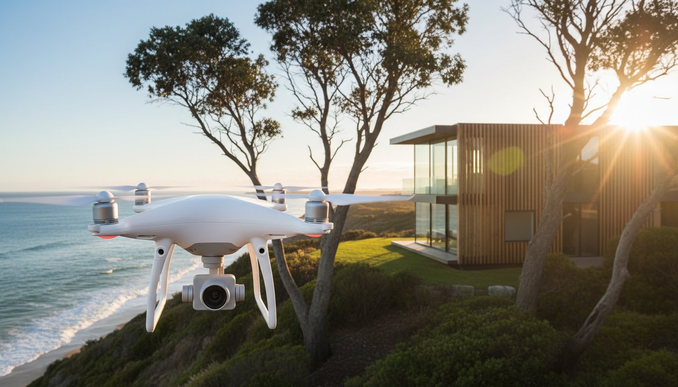
Listings featuring professional aerial photography sell 68% faster than those relying solely on ground-level images, according to December 2025 industry data. This shift means drone work is no longer just a luxury for sprawling estates; it is a critical tool for location validation. You are likely asking, "should i use a drone for my listing" to stay competitive while managing rising marketing costs. It is a valid concern, especially when non-compliance with the new 11 May 2026 AusSORA framework can result in CASA fines as high as A$16,500.
We recognise that every dollar in your campaign must drive a measurable return on investment. This guide provides a clear yes or no framework to help you decide when aerial assets are essential for your property. You will discover how to navigate Australian drone regulations and use high-altitude shots as visual proof to capture out-of-area buyers. We explore standalone pricing, which typically ranges from A$300 to A$600, and show you how to integrate these services into a high-performance listing strategy that guarantees professional results.
• Validate location-based claims by using aerial imagery to provide visual proof of proximity to lifestyle infrastructure like parks and beaches.
• Apply the High-Value Feature test to determine if your property’s land size, pool, or alfresco areas justify the investment in aerial assets.
• Identify the critical differences between RePL and ReOC certifications to ensure your campaign complies with strict 2026 CASA regulations.
• Use our structured ROI framework to finally answer the question: should i use a drone for my listing?
• Leverage UberRE’s 24-hour turnaround to move from professional flight to a live, high-impact listing with technical precision.
Property marketing has moved beyond static 2D snapshots. While the history of aerial photography dates back to the 19th century, its application in 2026 real estate is about immersive storytelling. Modern buyers don't just want to see a kitchen. They want to see how that kitchen relates to the local park, the coastline, or the neighbouring schools. This spatial awareness builds immediate trust. It provides the "visual proof" required to reduce skepticism regarding a property’s surroundings. By showing the home in its true context, you eliminate the "hidden" factors that often make buyers hesitant.
The psychological impact of seeing a home within its wider landscape is profound. It shifts the buyer's focus from a single building to a lifestyle. When a buyer can see the exact distance to the local shopping centre or the train station, their confidence in the listing grows. In 2026, transparency is the primary currency of real estate. If you are asking yourself, "should i use a drone for my listing," consider that 95% of buyers now start their search online. They expect a comprehensive view before they commit to an in-person inspection. Aerial views provide the clarity they demand.
Drone technology has democratised high-end marketing. What was once reserved for multi-million dollar estates is now accessible for every suburban block. Standard listings now compete directly with premium campaigns on major portals. Without an aerial context shot, a listing often looks incomplete. It risks being overlooked by the 68% of buyers who click through specifically for high-impact visual content. You don't want your property to be the only one on the street without a professional perspective. Modern efficiency means these services are no longer a luxury but a baseline requirement for a competitive listing.
Vendors want to see their agent utilising the latest tools to secure the best price. Integrating Aerial Photography and Aerial Video into your proposal demonstrates technical confidence. It shows you aren't just a traditional agent; you are a tech-forward specialist. Industry data from early 2026 confirms that 52% of agents secured a higher selling price when using high-quality professional imagery. These assets justify your price guide and prove your commitment to a premium result. Delivering a standardised, high-quality output ensures the vendor feels their property is in expert hands. Book your session today to ensure your campaign meets these modern benchmarks.
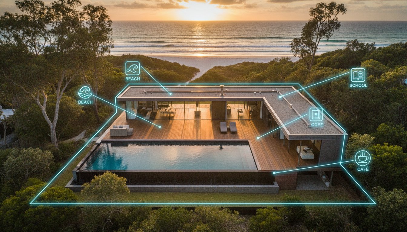
Contextual marketing is the practice of using aerial imagery to demonstrate a property's proximity to critical lifestyle infrastructure. Ground-level photography, while useful for interior details, often fails to capture the "walkability" of a location. It cannot show a buyer that the local primary school is a safe 200-metre walk away or that the beach is just over the next sand dune. If these amenities are your primary selling points, you need a perspective that ground cameras simply cannot reach. Aerial Context serves as the vital visual bridge that connects a residential floorplan to its wider community ecosystem.
When you ask yourself, "should i use a drone for my listing," you are really evaluating if the neighbourhood is as valuable as the house itself. In a competitive 2026 market, buyers aren't just purchasing a building; they are investing in a lifestyle. Providing visual proof of nearby transport hubs, local parks, and shopping centres reduces buyer hesitation. It transforms a vague description into a concrete reality. This level of transparency is essential for attracting out-of-area buyers who cannot visit the suburb in person before the first inspection.
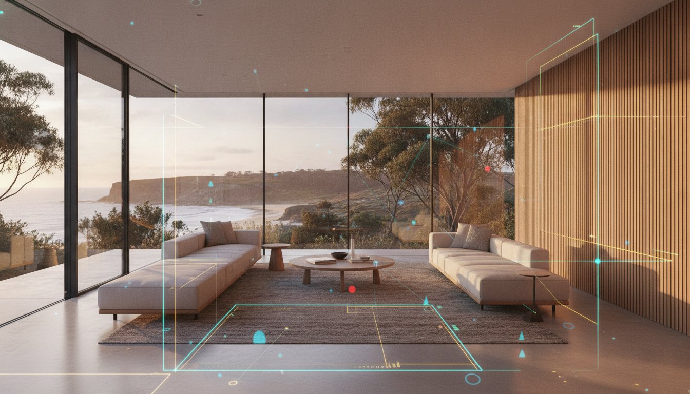
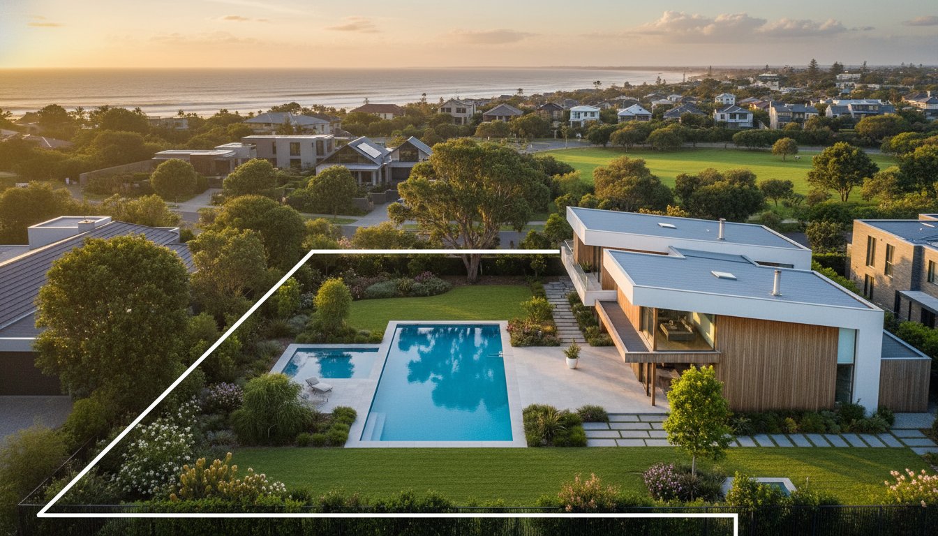
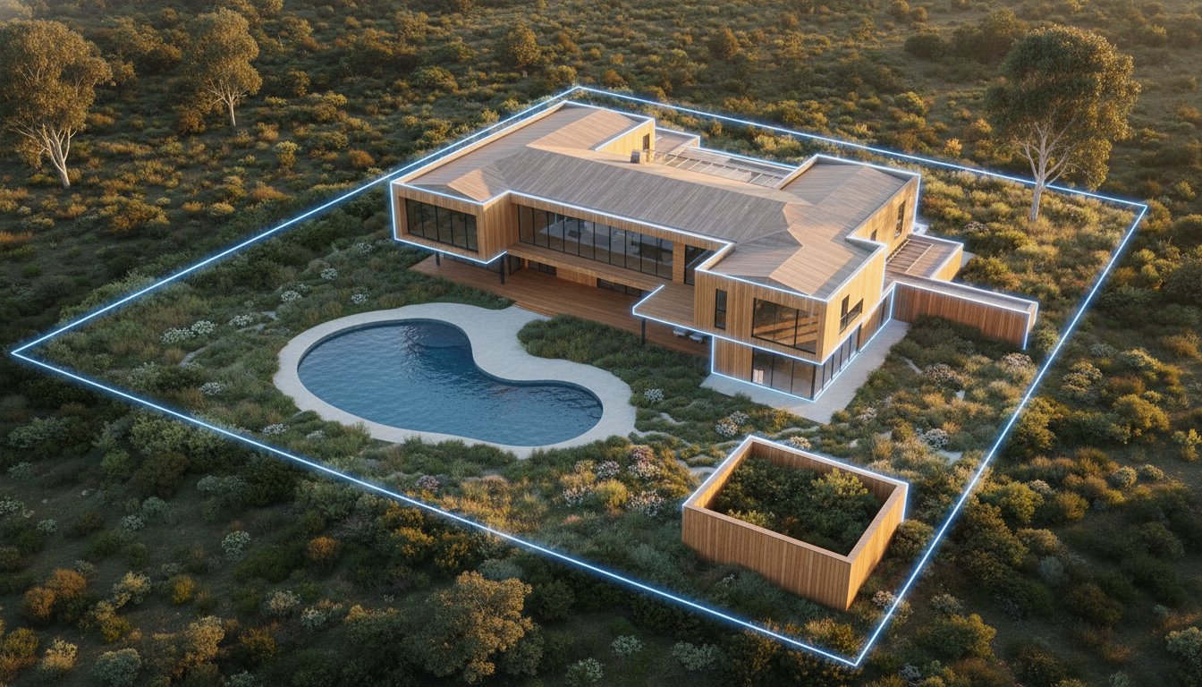
High-impact listings utilise "pin-drop" graphics on drone shots to mark local landmarks clearly. This technique allows you to show the exact distance to the coast or the CBD within a single, high-resolution frame. For regional listings, this is the most effective way to capture the "lifestyle block" appeal. It provides an immediate sense of scale that ground shots lack. You can highlight the relationship between the main residence, secondary dwellings, and natural features like dams or riverfronts. This clarity is a major driver of engagement on premium property portals.
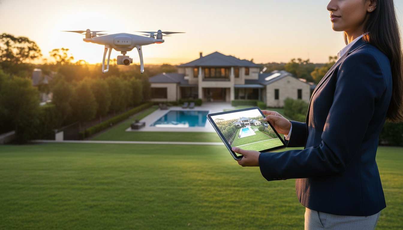
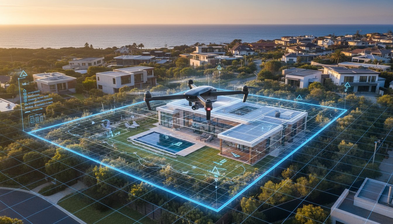
Investors and developers require technical data that standard photography ignores. Aerial views are perfect for visualising the development potential of R-coded blocks. By showing boundary lines clearly, you avoid confusion during the Expression of Interest (EOI) process. Tech-savvy buyers also look for "unseen" value such as roof condition and solar infrastructure. Operating within CASA drone safety rules ensures these technical shots are captured legally and professionally. This precision builds immediate trust with serious buyers who value accurate, high-quality data. Consider how Aerial Photography can provide the technical edge your next investment listing needs to stand out.
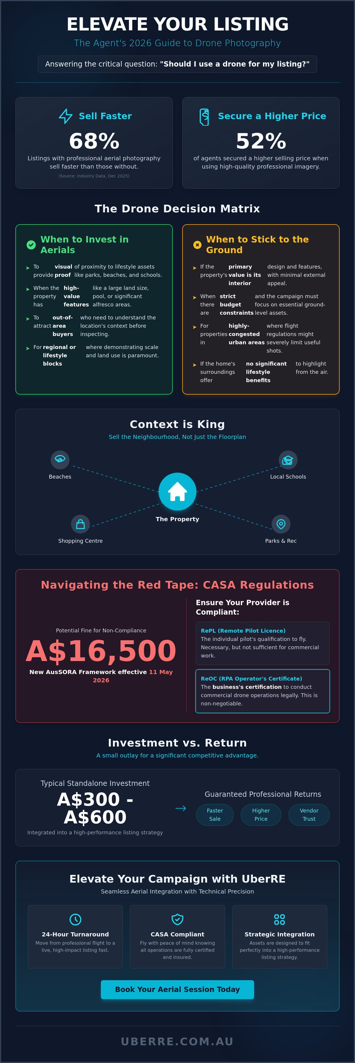
Effective property marketing requires a calculated approach to budget allocation. While previous sections established the psychological value of aerial views, you must apply a structured ROI framework before booking. The question "should i use a drone for my listing" should be answered by the "High-Value Feature" test. If a property contains assets like a designer pool, a private tennis court, or an expansive outdoor entertaining area, ground-level shots cannot capture the scale. In these instances, the investment is justified by the visual clarity provided to high-intent buyers.
Block size is the primary determinant for your decision. For standard residential blocks under 400 square metres, ground photography often suffices unless the property sits in a unique location. However, as block size increases, the necessity for aerials grows proportionally. Following best practices for drone video and photography ensures you only deploy tech where it adds tangible value. When deciding "should i use a drone for my listing" for a specific campaign, consider if the elevation reveals something the street view hides.
Certain property types demand aerial coverage to be considered competitive in the 2026 Australian market. These include:
When boundaries and land topography are the primary selling points, drones are essential. They allow buyers to grasp the full scope of the holding in one frame.
If the view or direct water access accounts for 50% of the property value, you must show it. Aerials capture the relationship between the shoreline and the residence.
These listings require site plans and access point visualisations. Drones provide the data-driven clarity needed for logistics-focused buyers.
Conversely, some listings do not benefit from aerial perspectives, and ground-level shots remain superior for the following:
If there are no significant external amenities or the unit is surrounded by taller buildings, a drone adds little value. Focus on high-quality interior 3D tours instead.
Properties directly under flight paths or in strict CASA "no-fly" zones can be impossible to shoot legally. Always check local restrictions before promising aerial content to a vendor.
If established vegetation obscures the roofline and structure, an aerial shot will only show a forest. Stick to professional ground-level photography to highlight the home's facade.
Compliance isn't optional. Hiring an unlicenced "hobbyist" pilot exposes your agency to severe financial and reputational damage. As of May 2026, CASA safety rules are strictly enforced, with fines for illegal operations reaching A$1,650 per offence. If a breach proceeds to court, penalties can escalate to A$16,500. When considering "should i use a drone for my listing," the technical credentials of the operator are as important as the image quality. Professionalism means moving away from casual arrangements toward a results-driven, compliant partnership.
Professional drone operations require two distinct layers of certification. The Remote Pilot Licence (RePL) is the individual qualification, while the Remote Operator’s Certificate (ReOC) is the business-level authorisation. A ReOC ensures the provider has established safety manuals and rigorous insurance protocols. Public liability insurance is non-negotiable; professional operators typically carry at least A$10 million in coverage to protect against property damage or injury. CASA compliance serves as an agent’s primary shield against litigation and ensures the campaign remains within the new AusSORA assessment framework active from 11 May 2026.
Before booking, verify your pilot’s credentials to ensure a risk-free shoot. Use these specific checks to maintain your professional standards:
• Can you provide your ReOC number and current CASA registration?
• Are you operating under the "excluded category" for drones weighing less than 250g?
• Do you have specific CASA authorisation for night flights or Twilight Aerials?
• Is your public liability insurance current and specific to commercial drone work?
• How do you record flight logs and manage equipment maintenance?
Australian privacy laws and CASA safety rules mandate a 30-metre buffer from people not directly involved in the shoot. Professional operators manage overflight permissions and notify neighbours if the drone will be visible from their property. Best practices in 2026 involve blurring neighbouring windows and private backyard areas during post-production. This step protects the agency from privacy complaints and maintains positive community relations. To ensure your next campaign is both high-impact and fully compliant, book your professional aerial photography with a certified specialist today.
UberRE bridges the gap between technical CASA compliance and high-impact creative direction. If you've determined "should i use a drone for my listing" is a "yes" based on our decision matrix, the next step is professional execution. We provide a tech-integrated infrastructure for your visual content that moves away from the inconsistency of freelance photography. Our pilots operate under strict corporate protocols, ensuring every flight remains legal, insured, and aligned with the 11 May 2026 AusSORA framework. This authoritative approach instills immediate trust in vendors and protects your agency from the risks discussed in previous sections.
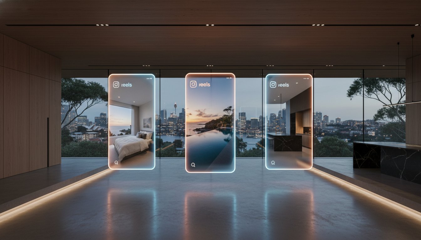
Efficiency is our primary hallmark. We deliver a 24-hour turnaround from the completion of the flight to your digital dashboard. This speed allows you to move from a signed authority to a "Live Listing" on major property portals without marketing delays. By integrating Aerial 360s and Social Media Reels into your multi-channel strategy, you capture the attention of time-poor buyers across all platforms. Standardised quality across our national network is essential for major Australian franchises. It ensures that every listing meets the same premium benchmark, regardless of the suburb or property type.
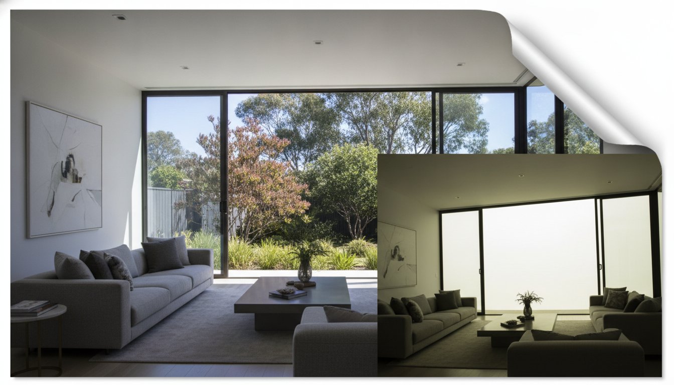
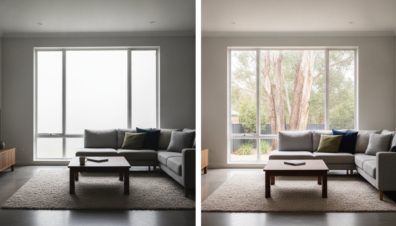
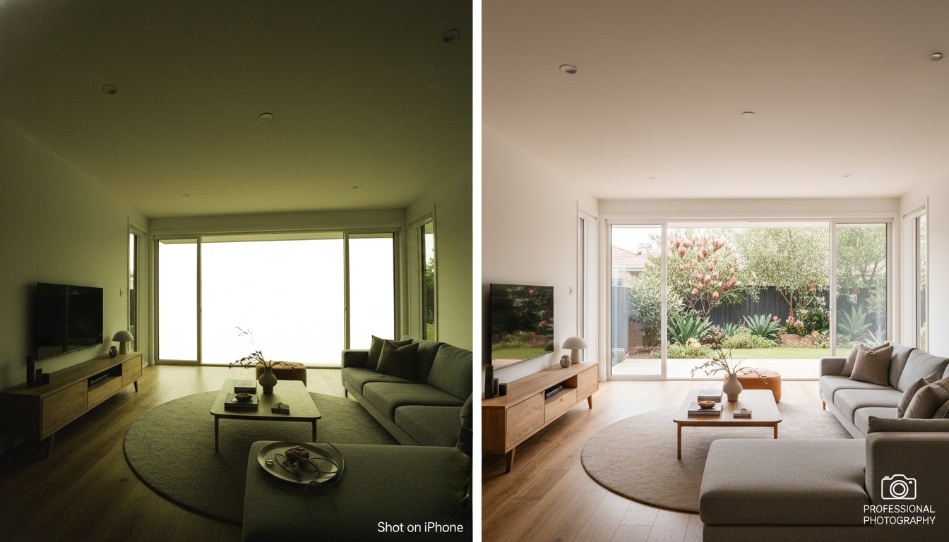
Our specialised editing team utilises advanced HDR processing to balance bright Australian skies with deep garden shadows. We don't just provide raw aerial files; we enhance them to serve as functional marketing tools. Every image can include digital enhancements such as virtual boundaries and landmark markers to provide "visual proof" of land size. We also provide a "Blue Sky" guarantee. Our sky replacement techniques ensure your property looks its best, even if the shoot occurred on a typical overcast day. This precision ensures your listing remains competitive against the 89% of high-quality photos that generate the most buyer interest in 2026.
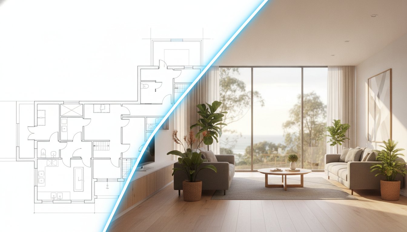
Booking a drone mission is now as simple as a single click. Our platform allows you to book Aerial Photography and Aerial Video alongside your Day Photography and Floorplans in one streamlined session. For developers and commercial agents, we offer unique technical depth. We provide construction-grade data, including BIM Models and Procore Integration, which sets us apart from traditional creative agencies. This makes UberRE a tech-integrated solution provider rather than just a photography service. We back every order with a 100% satisfaction guarantee to ensure reliability and accountability. Book your next aerial campaign with UberRE today to experience the modern standard of property marketing.
Aerial imagery is no longer an optional extra for properties with high-value features or unique locations. By applying the Decision Matrix, you can confidently determine when the investment translates into a faster sale and a higher price guide. 2026 buyers prioritise transparency and visual proof of proximity to local amenities. When asking "should i use a drone for my listing", the answer depends on your commitment to technical compliance and premium creative standards. Navigating strict CASA regulations requires a partner who provides more than just a camera in the sky. You need a tech-integrated infrastructure that delivers results with speed and accountability.
Elevate your listing with professional drone photography from UberRE. Our network of CASA Certified Operators provides a 24-Hour Content Turnaround backed by a 100% Satisfaction Guarantee. We ensure your campaign meets the highest professional standards while protecting your agency from the risks of unlicenced operations. Secure your competitive edge and book your next shoot today to transform how buyers perceive your property.
Yes, if the property's value is driven by its location rather than its land size. For small blocks, the question "should i use a drone for my listing" is about showing proximity to lifestyle infrastructure like beaches, parks, or transport hubs. If the block lacks significant external features or a unique position, professional ground-level photography is often more effective for capturing the home's interior details.
Standalone drone photography for real estate in Australia generally costs between A$300 and A$600. Basic packages consisting of 10 aerial stills often start around A$250, while comprehensive bundles including a 1-5 minute video and high-quality stills typically range from A$300 to A$500. Detailed video tours for premium estates can increase the total marketing investment to approximately A$1,000 depending on the project's complexity.
It is legal to fly in the vicinity of neighbouring properties as long as the pilot complies with CASA safety rules. Operators must maintain a 30-metre distance from people not involved in the shoot. We recommend notifying neighbours before the flight and utilising professional post-production to blur private areas. This approach maintains positive community relations while ensuring the listing remains fully compliant with Australian privacy standards.
You can only use your own drone if you have registered the aircraft and obtained commercial accreditation or a licence from CASA. Flying a drone for commercial purposes without these credentials is illegal in Australia. When deciding "should i use a drone for my listing," consider that fines for unlicenced commercial use start at A$1,650. Professional pilots provide the necessary insurance and technical skill to avoid these significant legal risks.
Professional operators must reschedule flights if weather conditions like heavy rain or high winds exceed safety thresholds. CASA regulations prohibit flying in low visibility or dangerous environments. If the day is simply overcast, we provide a "Blue Sky" guarantee through digital enhancement. This ensures your listing looks perfect while maintaining strict adherence to safety protocols. Safety is our primary priority during every aerial mission.
A standard aerial photography session usually takes between 30 and 45 minutes on-site. This timeframe allows the pilot to conduct a mandatory pre-flight safety assessment and capture multiple angles of the property and its surroundings. Because we prioritise efficiency, the raw data is moved immediately into post-production. You can expect a standardised, high-quality output delivered to your dashboard within a 24-hour turnaround period.
You don't need separate insurance, but you must verify that your drone pilot carries at least A$10 million in public liability insurance. Professional operators include this coverage as a standard part of their service. Hiring an unlicenced pilot without specific commercial drone insurance leaves the agent and vendor liable for any property damage or injuries. Always check for a valid ReOC to ensure the business is fully insured.
A Remote Pilot Licence (RePL) is the individual qualification that allows a person to fly a drone. A Remote Operator’s Certificate (ReOC) is the business-level authorisation required to trade commercially. To operate legally and carry professional insurance, a business must hold a ReOC. UberRE utilises a network of certified operators to ensure every shoot is conducted under the highest technical and legal standards in the industry.

-2.png)